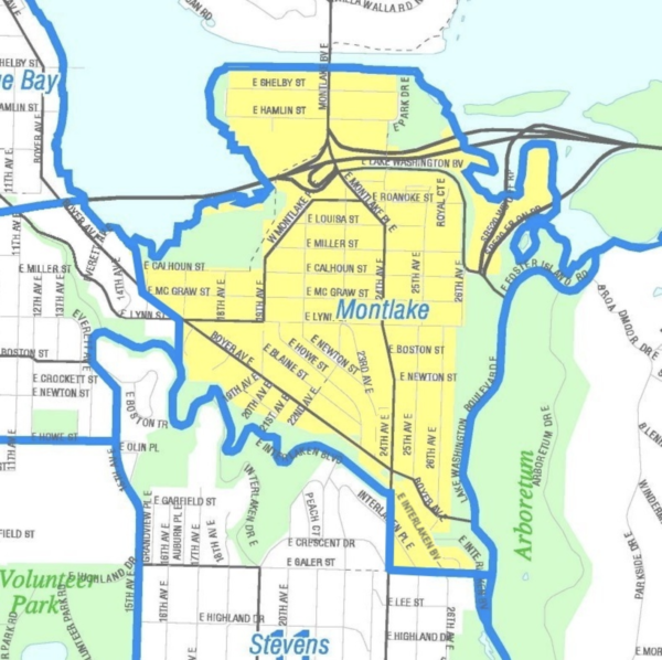
The map below shows the boundaries of Montlake as defined in the bylaws of the Montlake Community Club.
Many residents object to these boundaries for excluding people near Interlaken Park who believe they are Montlakers and including some near 24th & Galer who may or may not be.
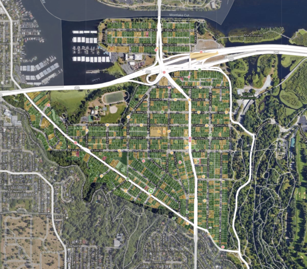
The map below shows Montlake as depicted on the Nextdoor App